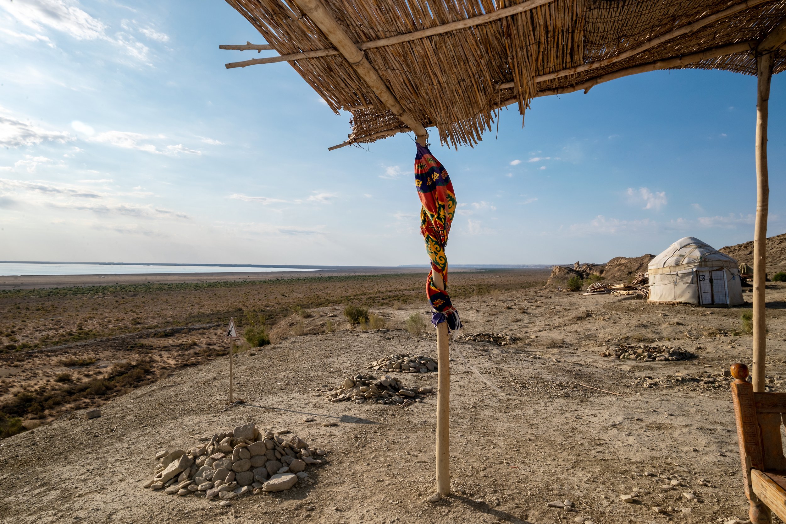
The Ecological Catharsis of the Aral Sea
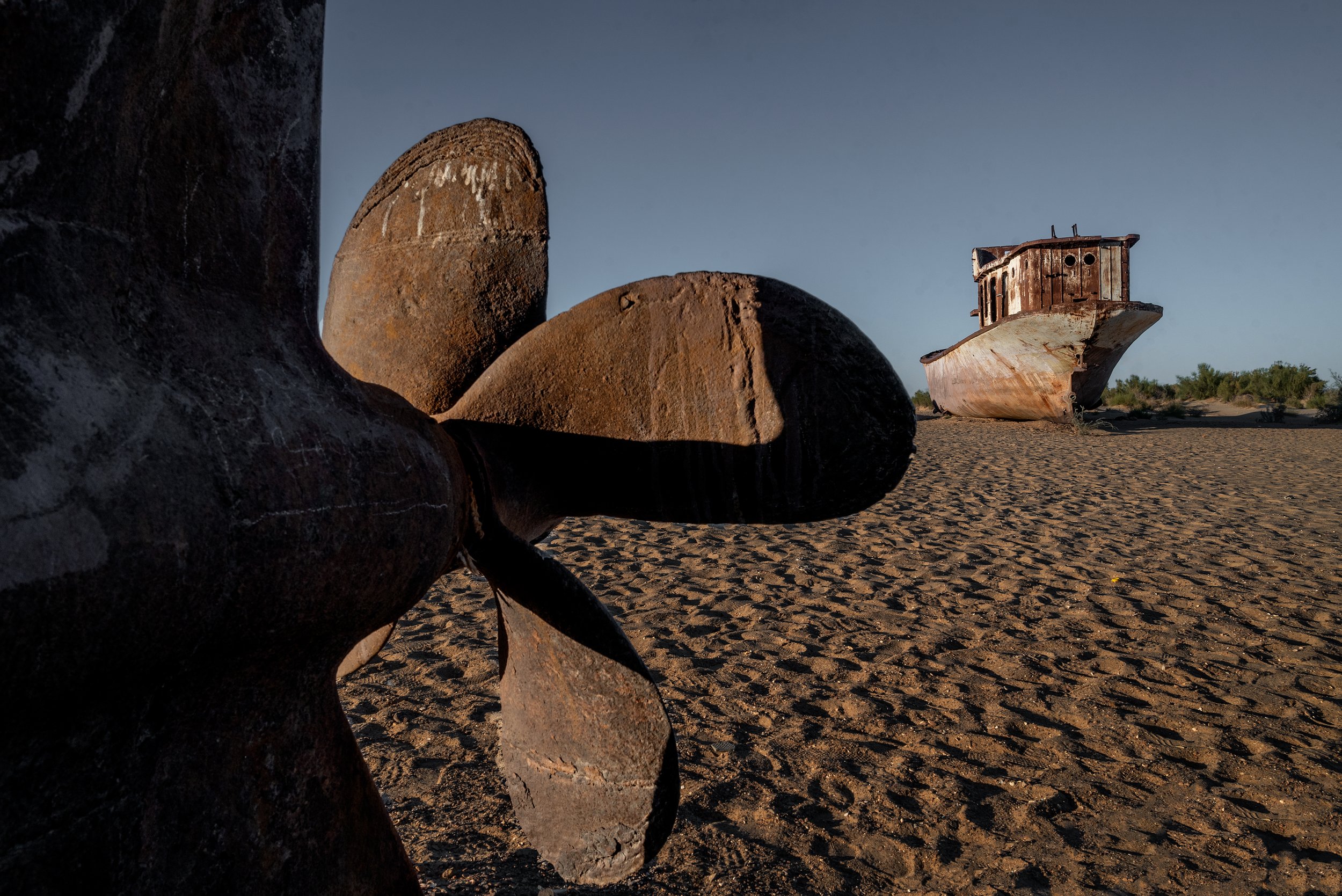
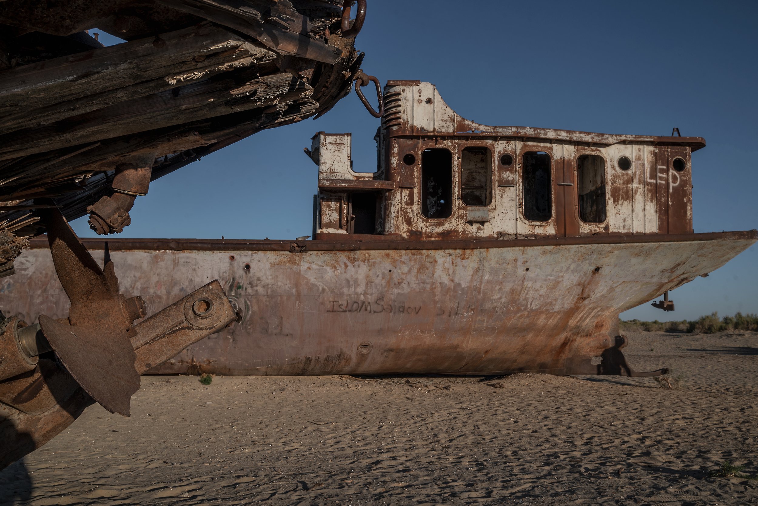
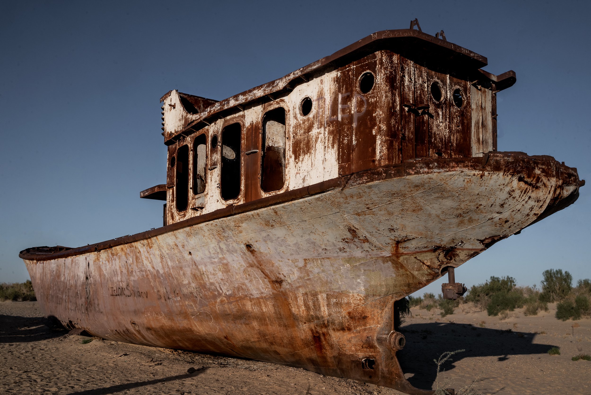
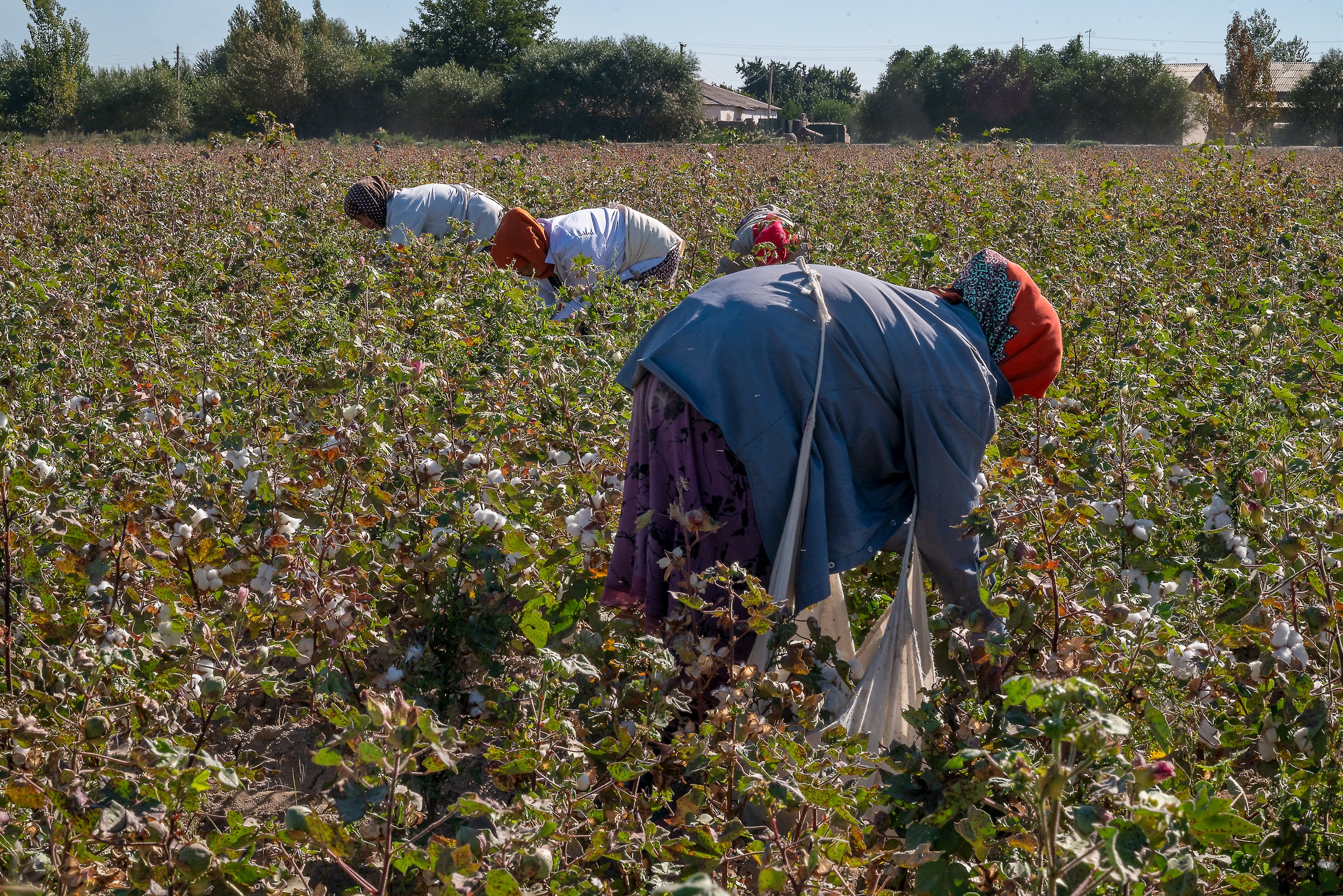
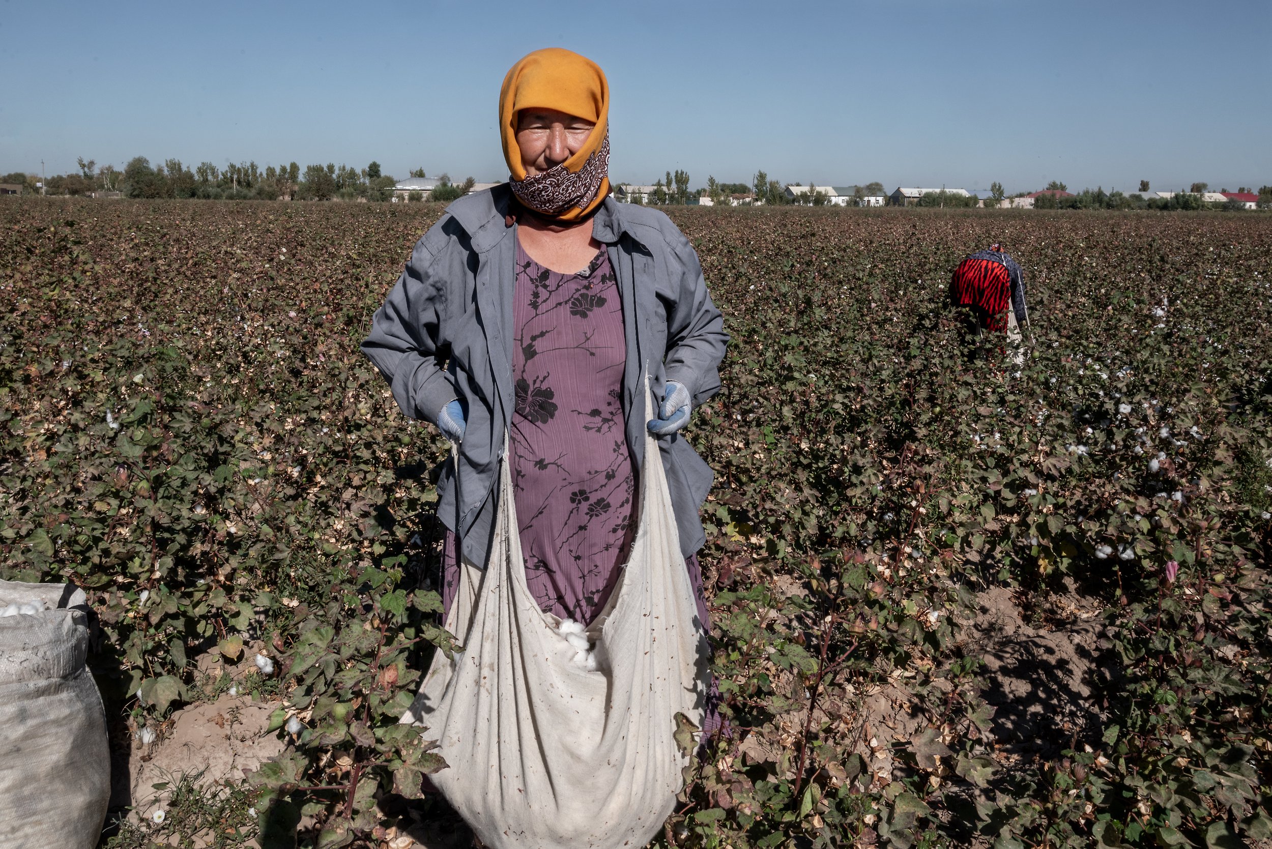
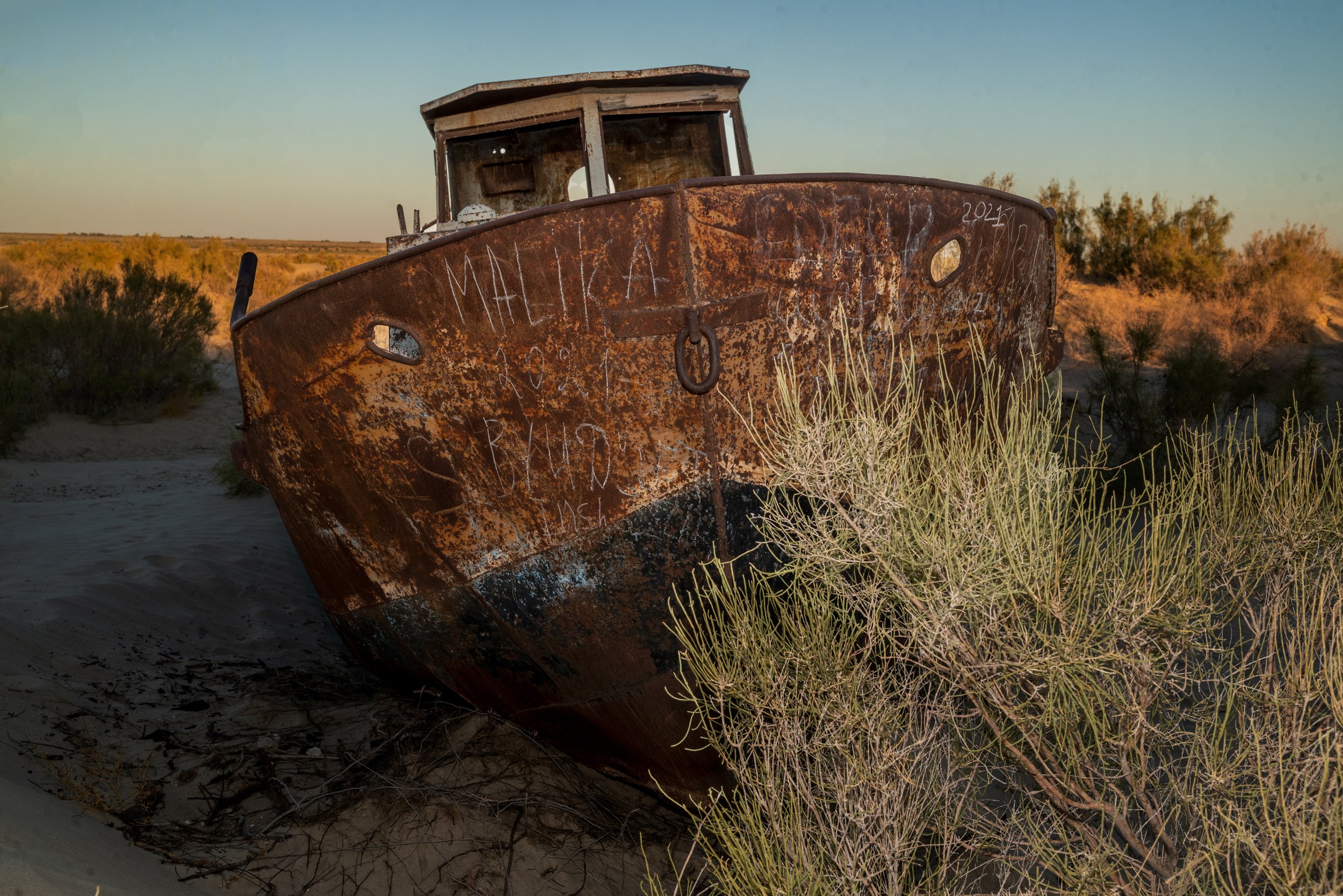
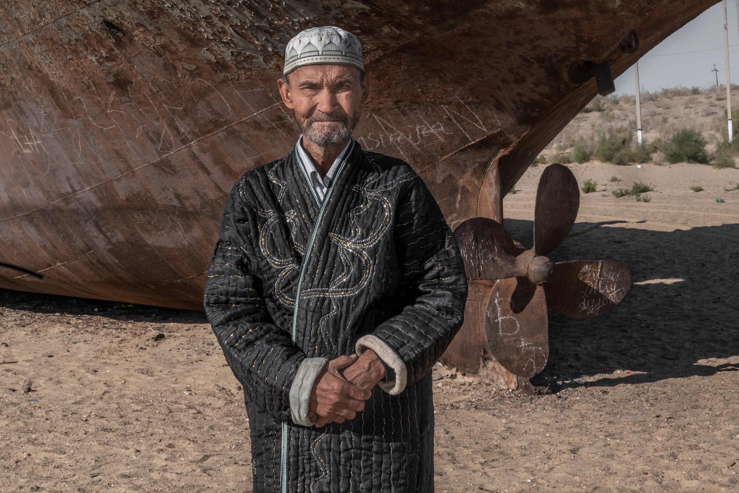
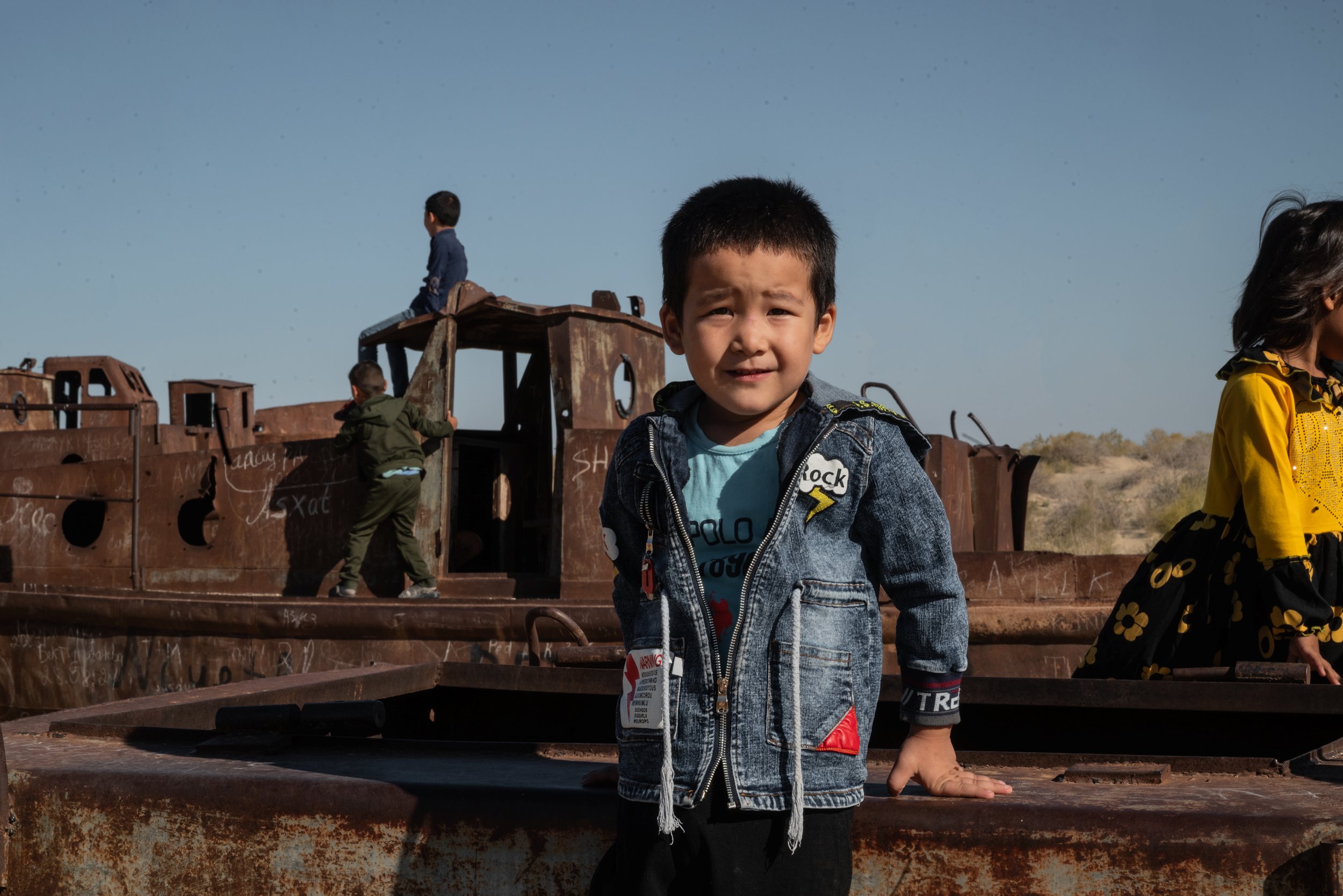
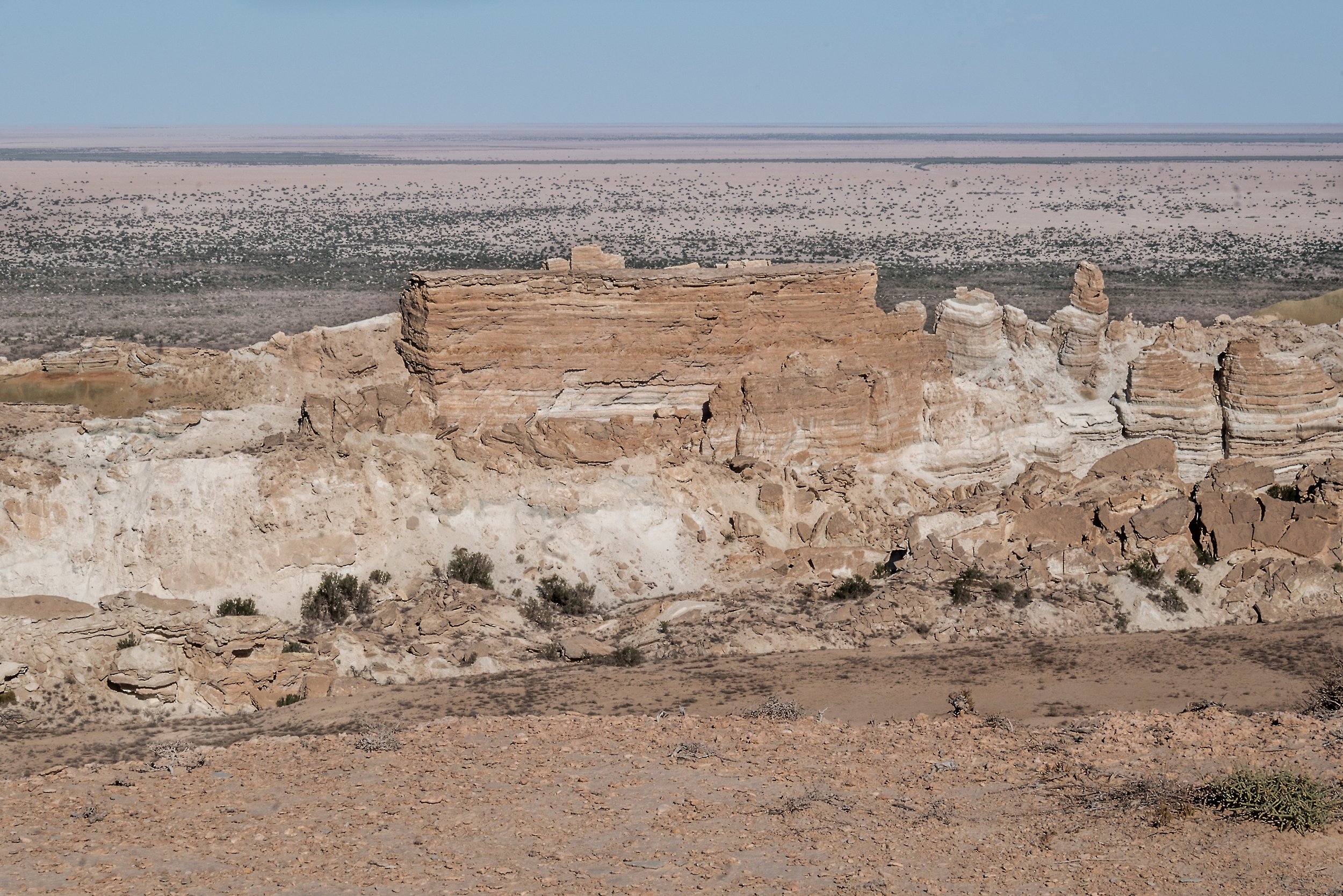
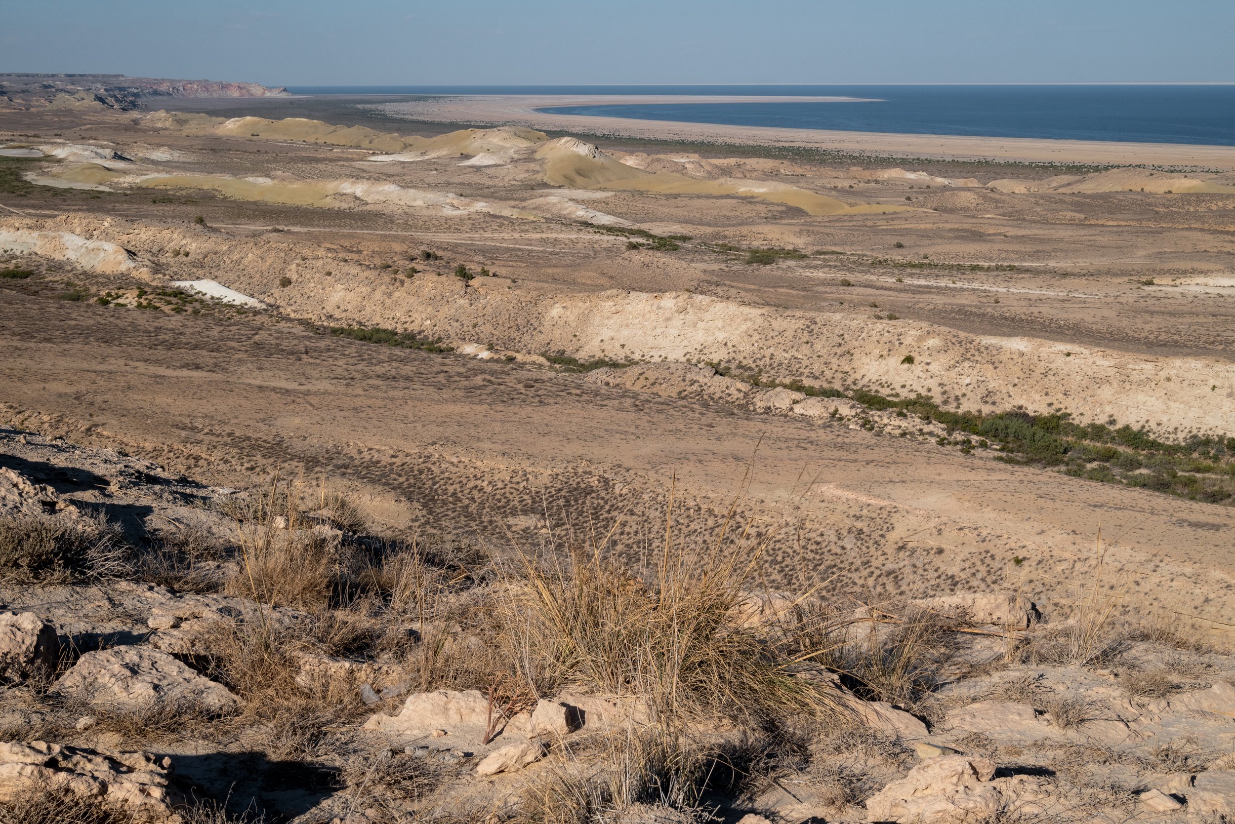
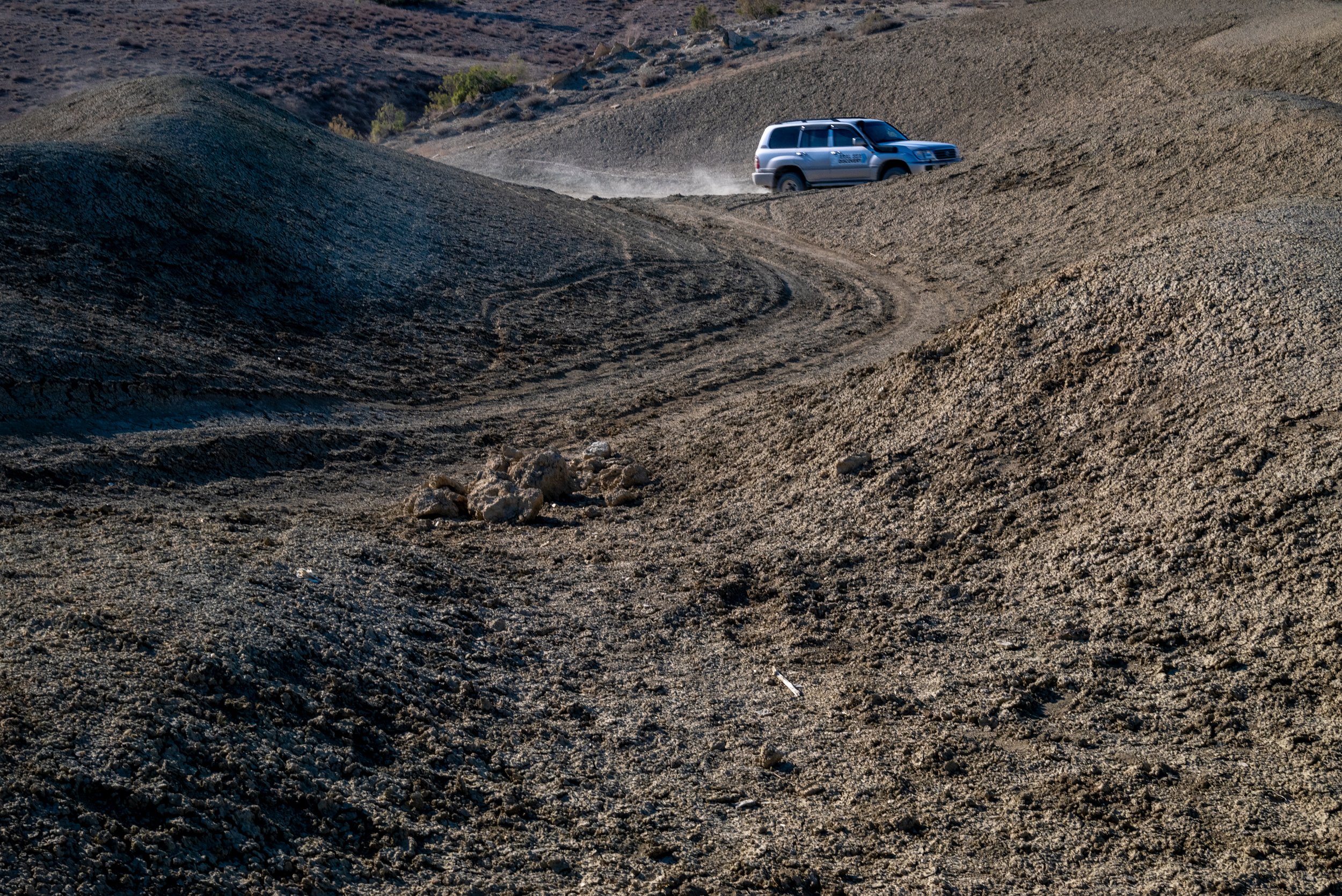
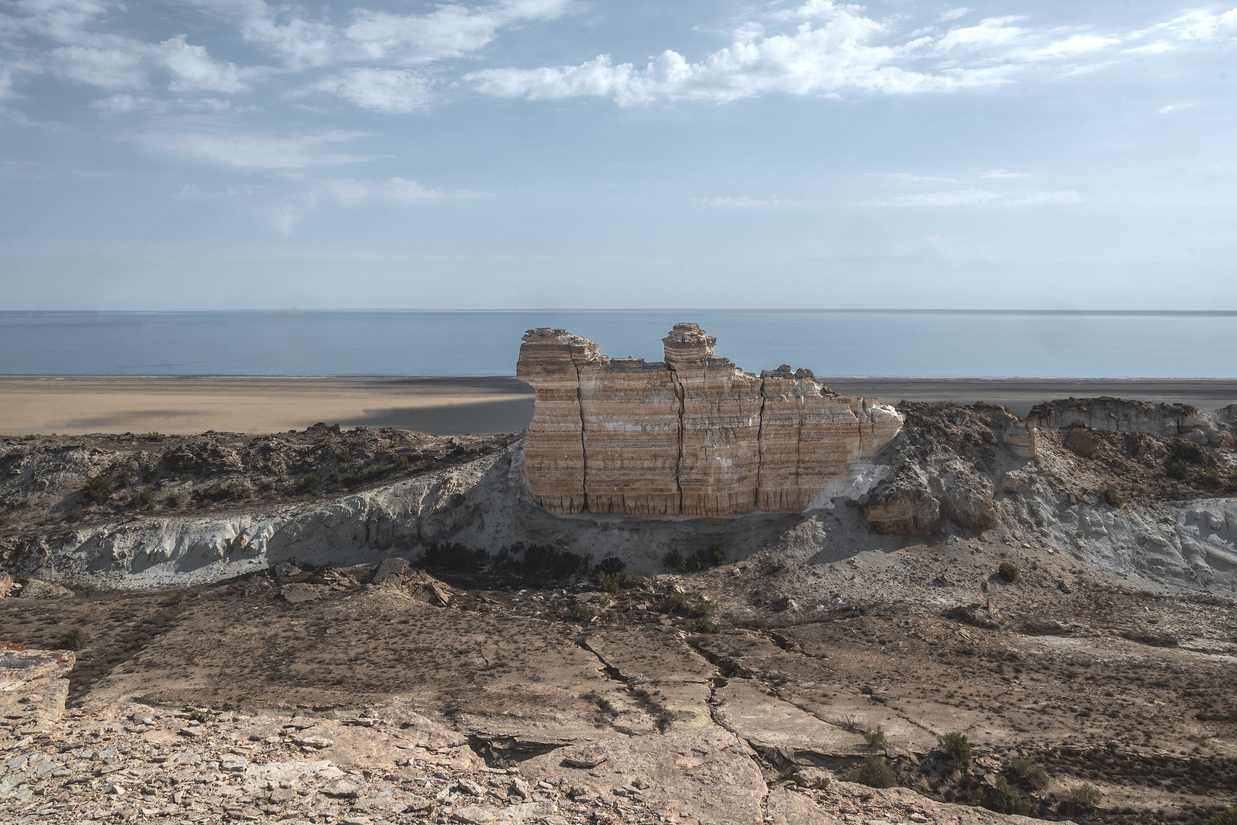
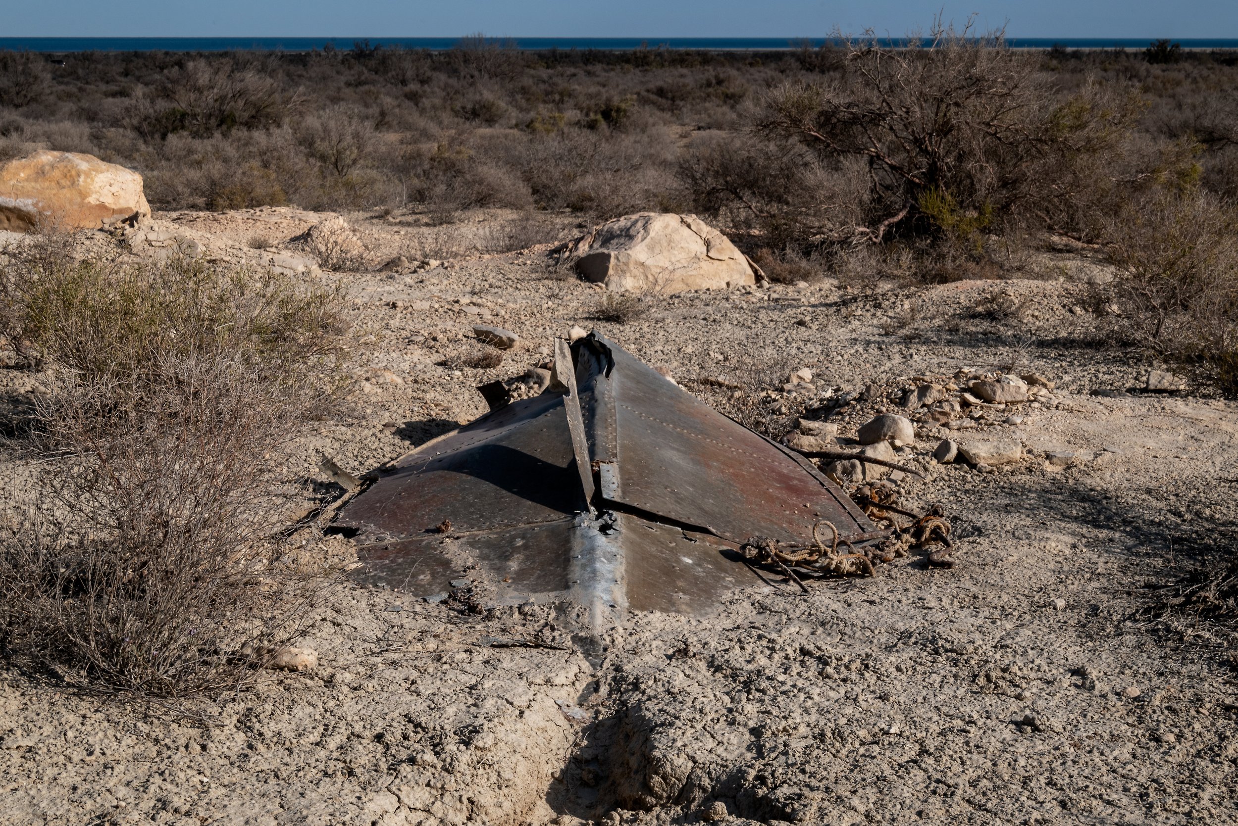
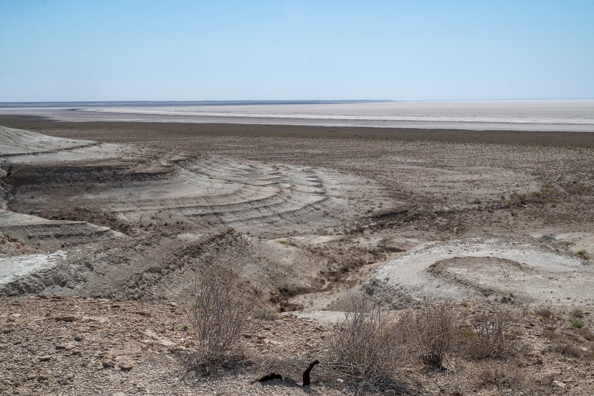
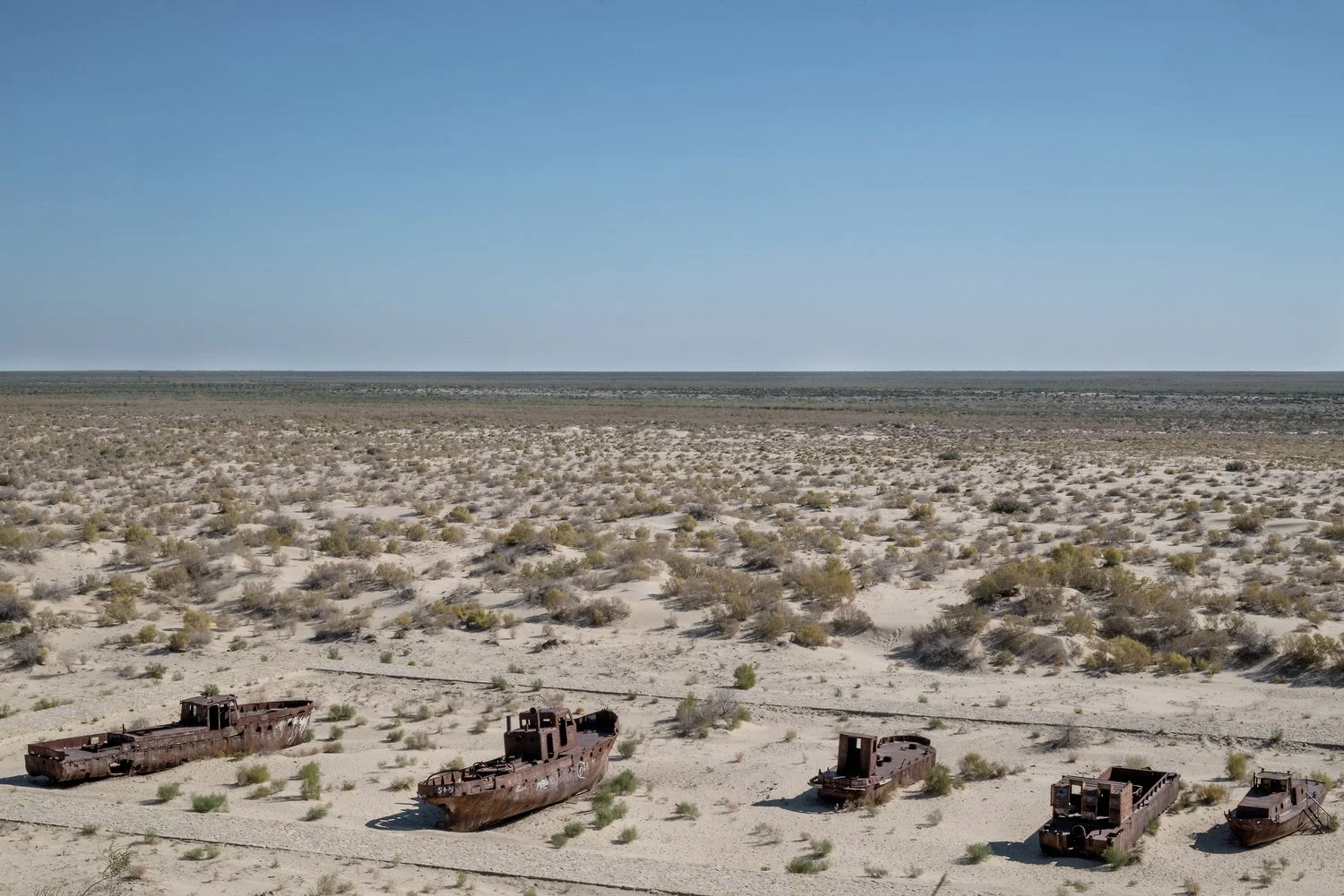
Once the fourth largest lake on the planet, the Aral Sea stretched between Uzbekistan and Kazakhstan. For millennia, it was fed by the Syr Darya and the Amu Darya rivers, maintaining a natural balance between inflow and evaporation. From the 1970s onwards, massive diversions of water for intensive cotton cultivation triggered its accelerated desiccation. From a historic surface of 67,000 km², today only about 6,000 km² remain, while a salt desert of nearly 30,000 km² has emerged in its place.
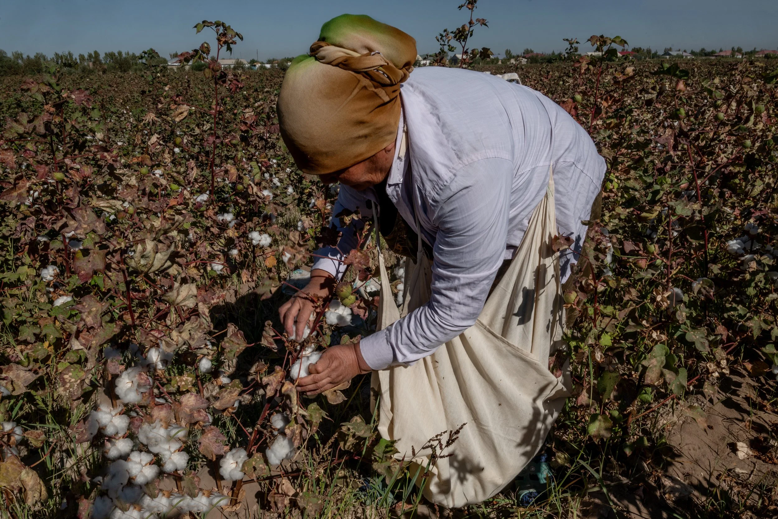
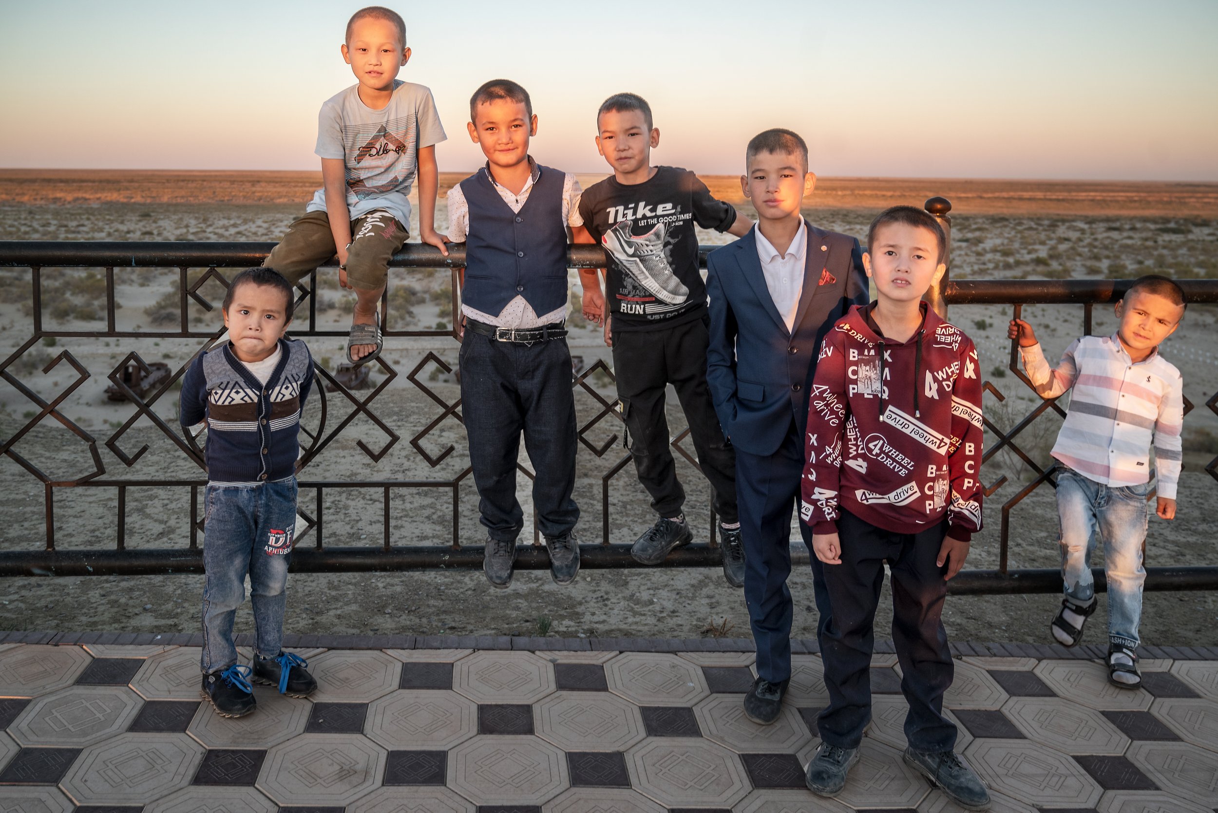
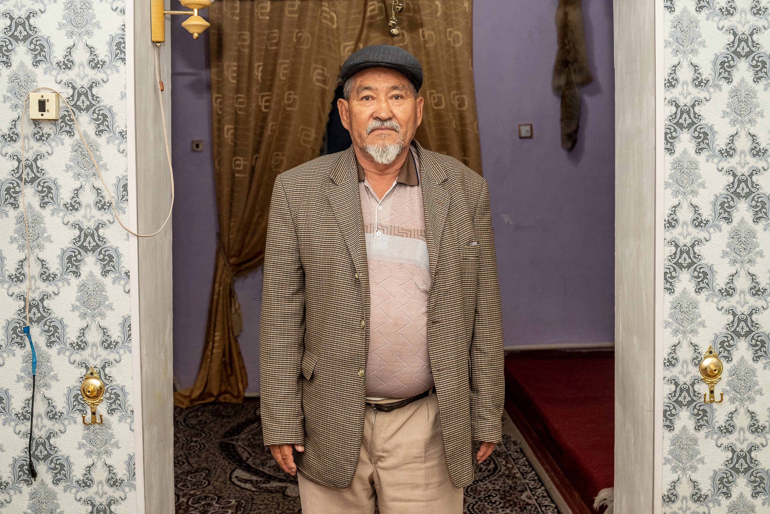
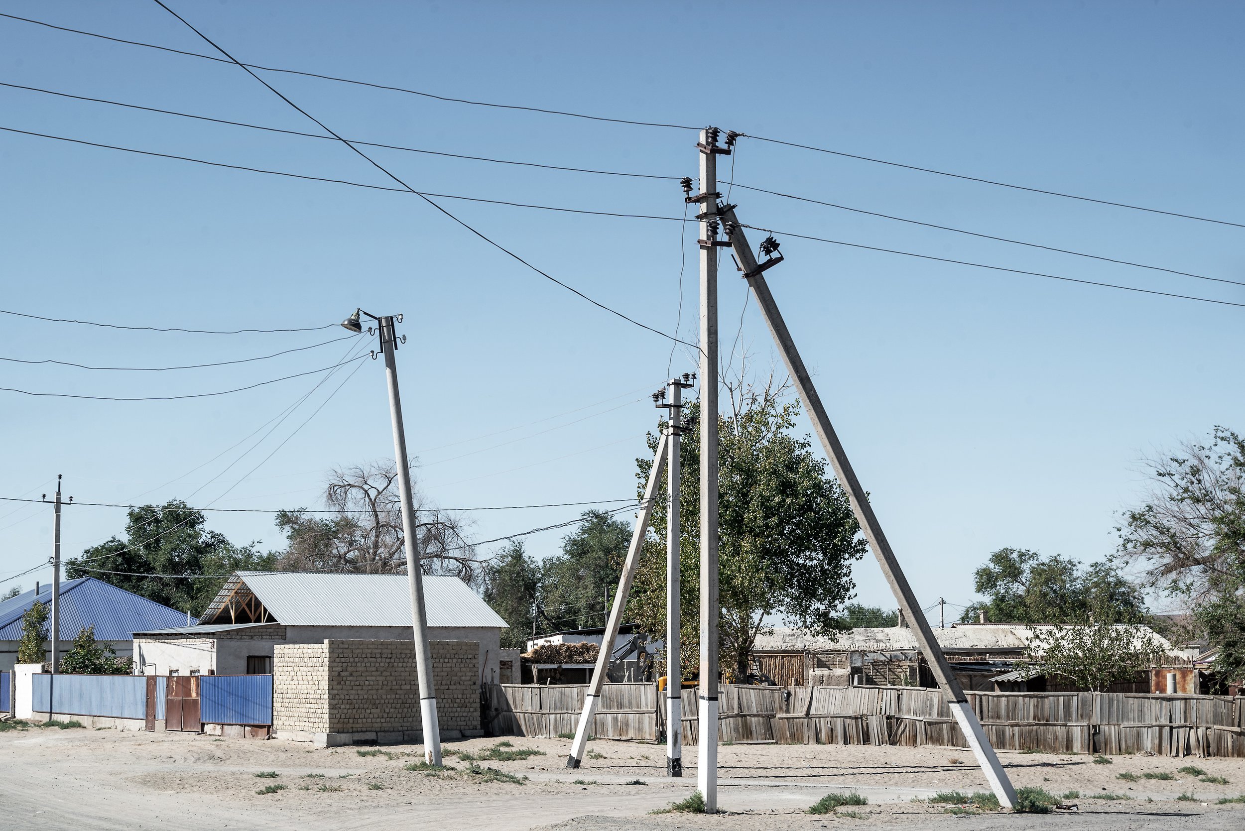
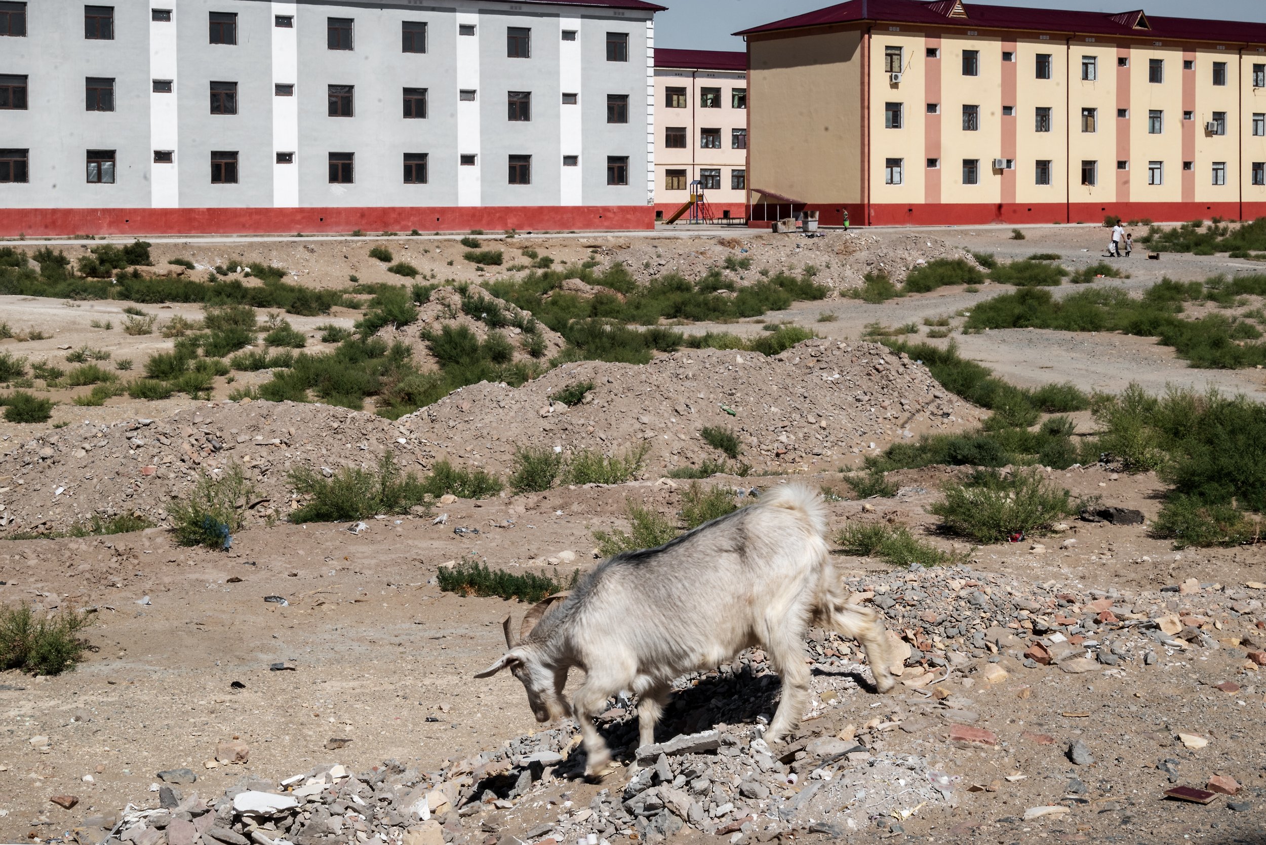
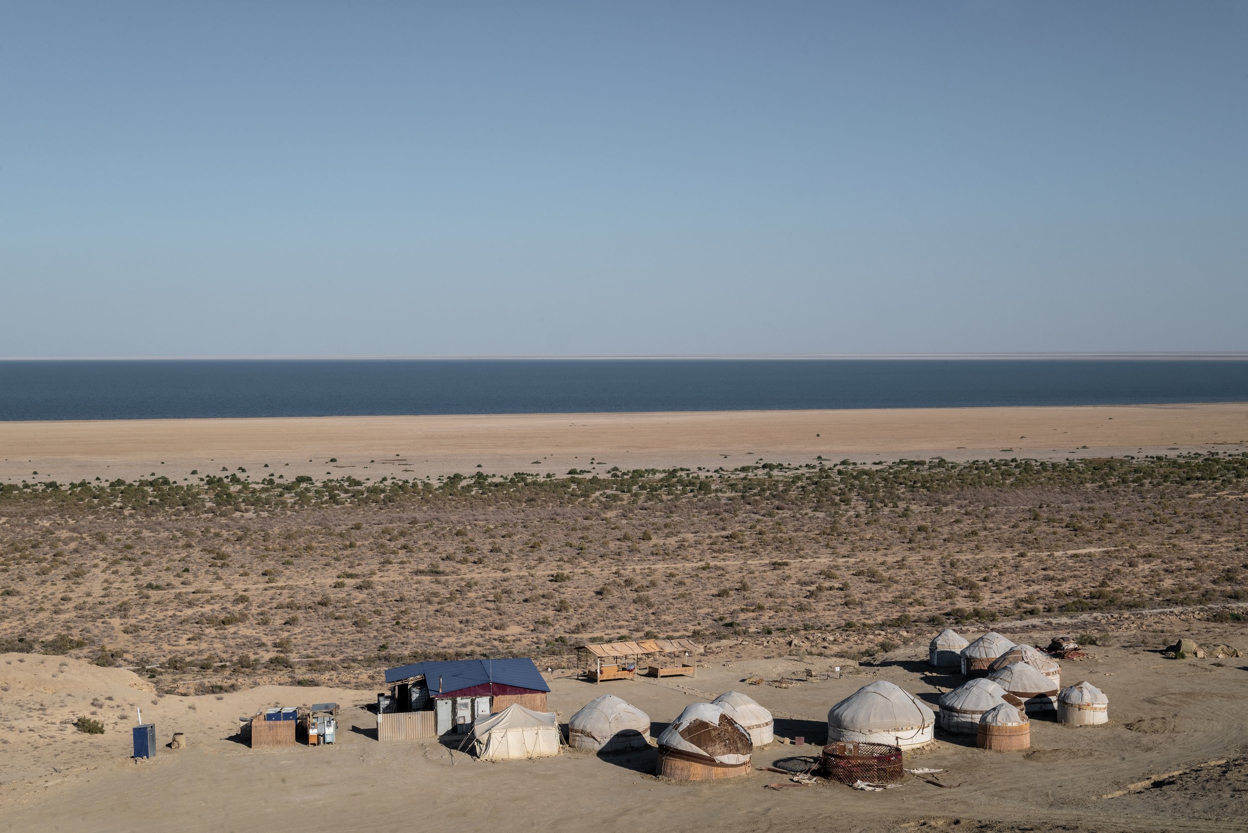
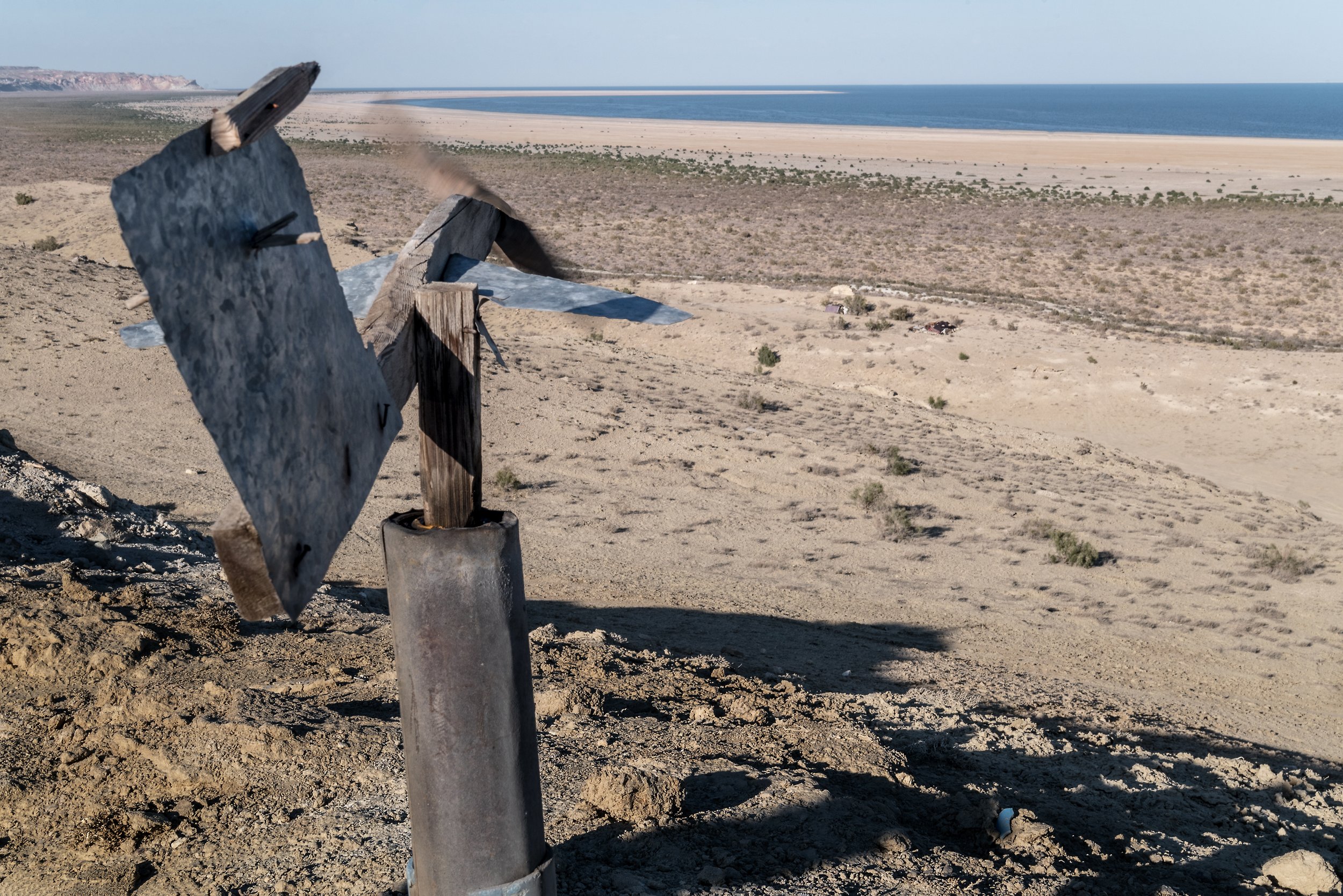
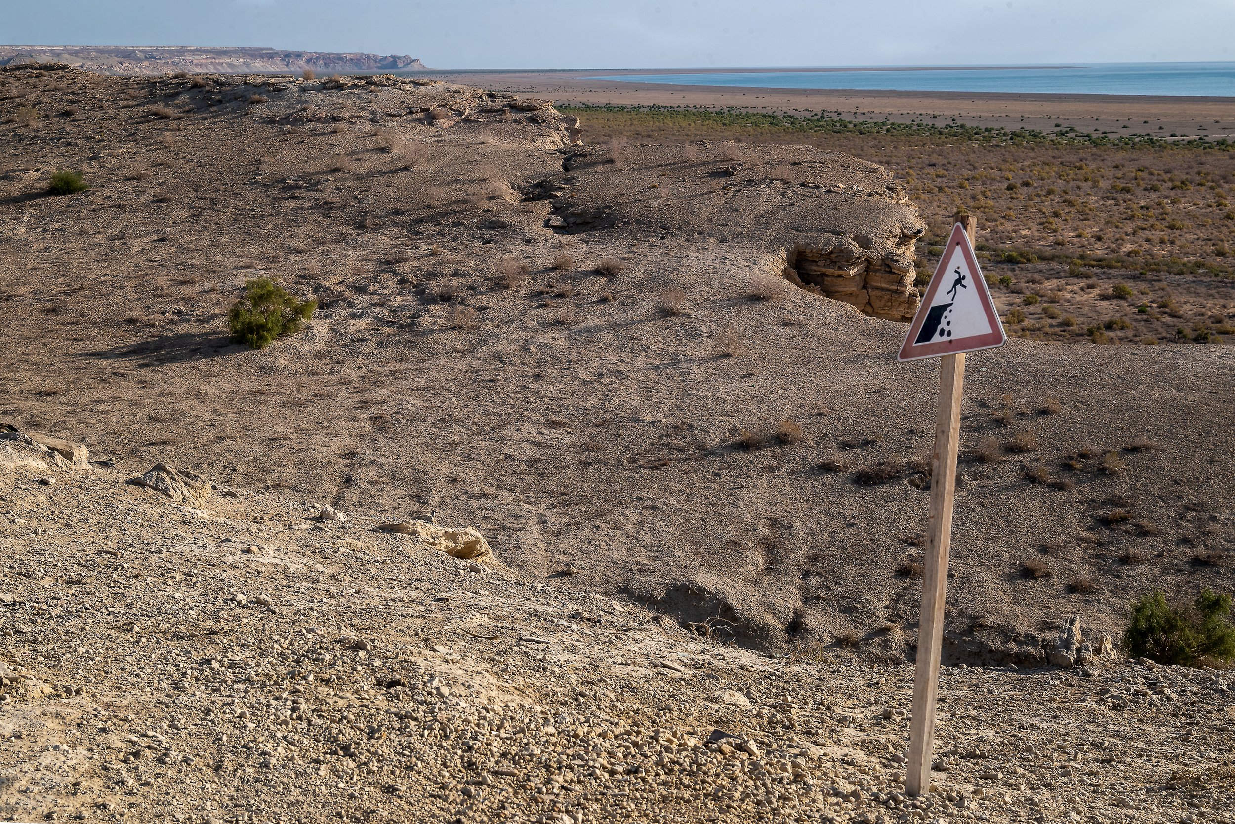
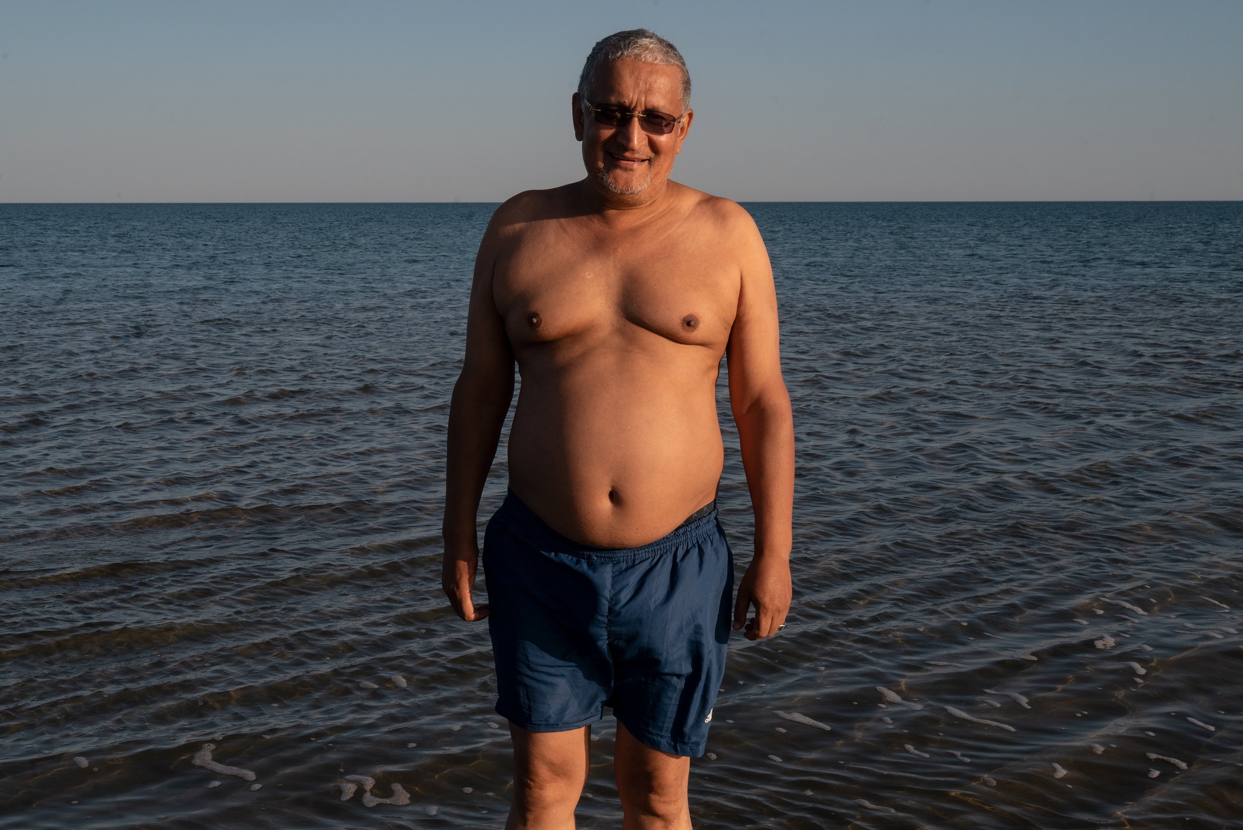
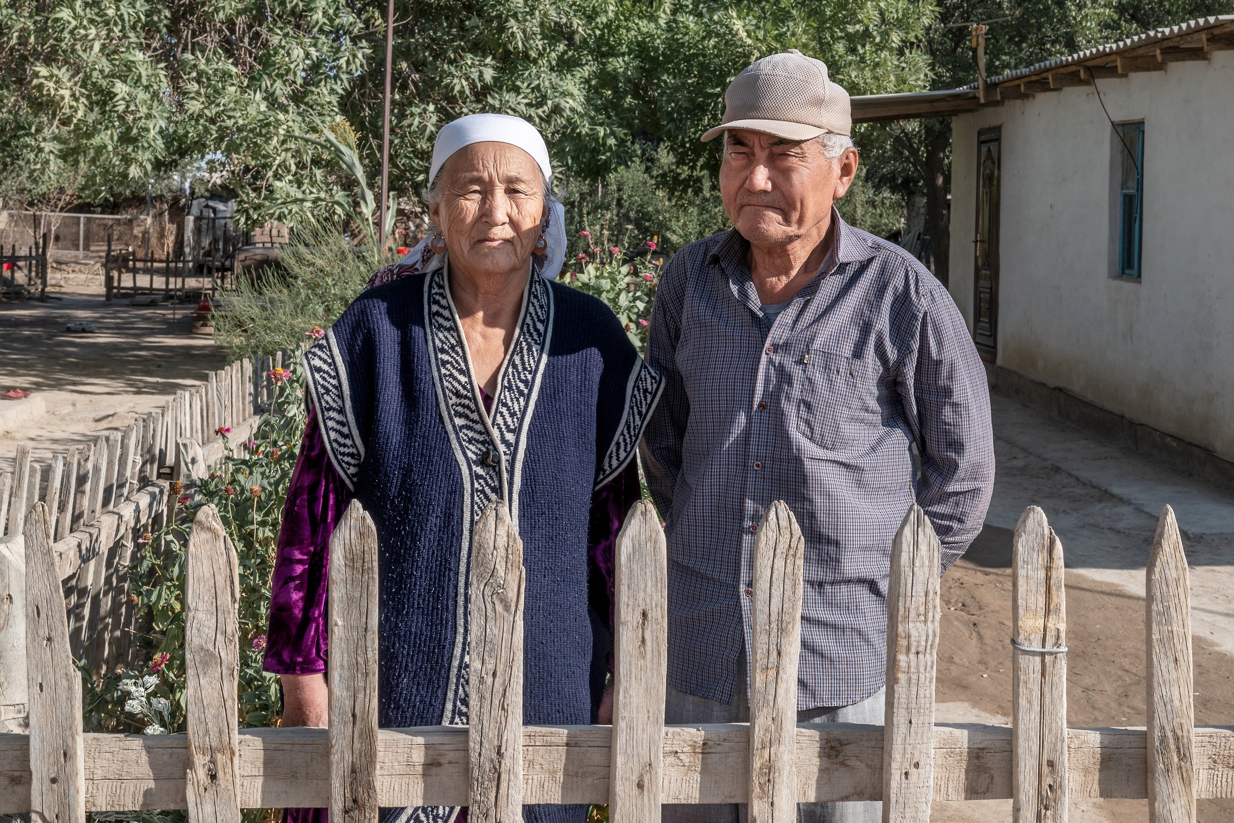
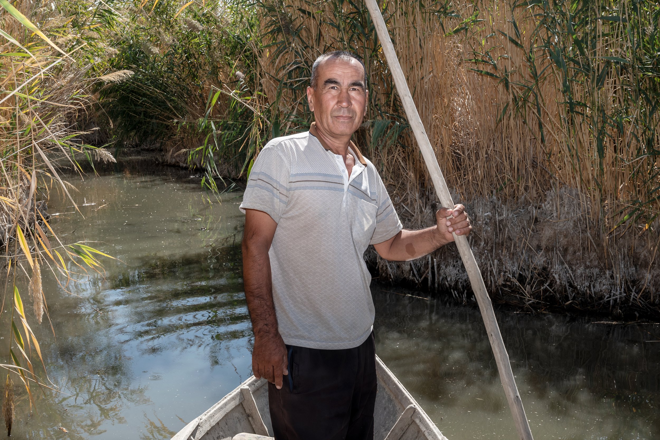
A once-prosperous region of fisheries, farming, and pastoral life was left marked by the collapse of livelihoods and a transformed, hostile landscape of dust and salt. For decades, the impact remained largely invisible to the outside world. Only with the popularization of satellite imagery in the early 2000s did the scale of the disaster become undeniable.
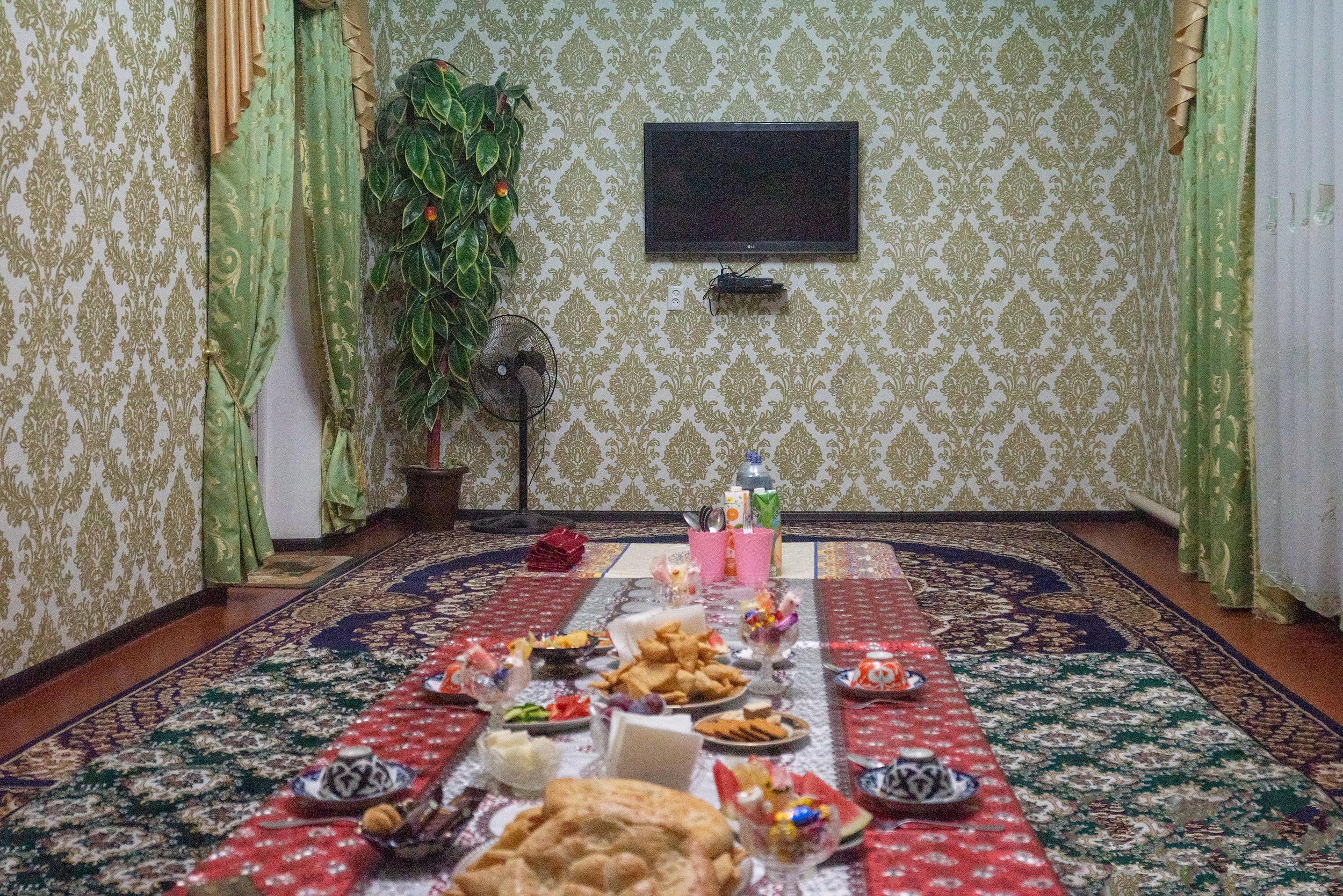
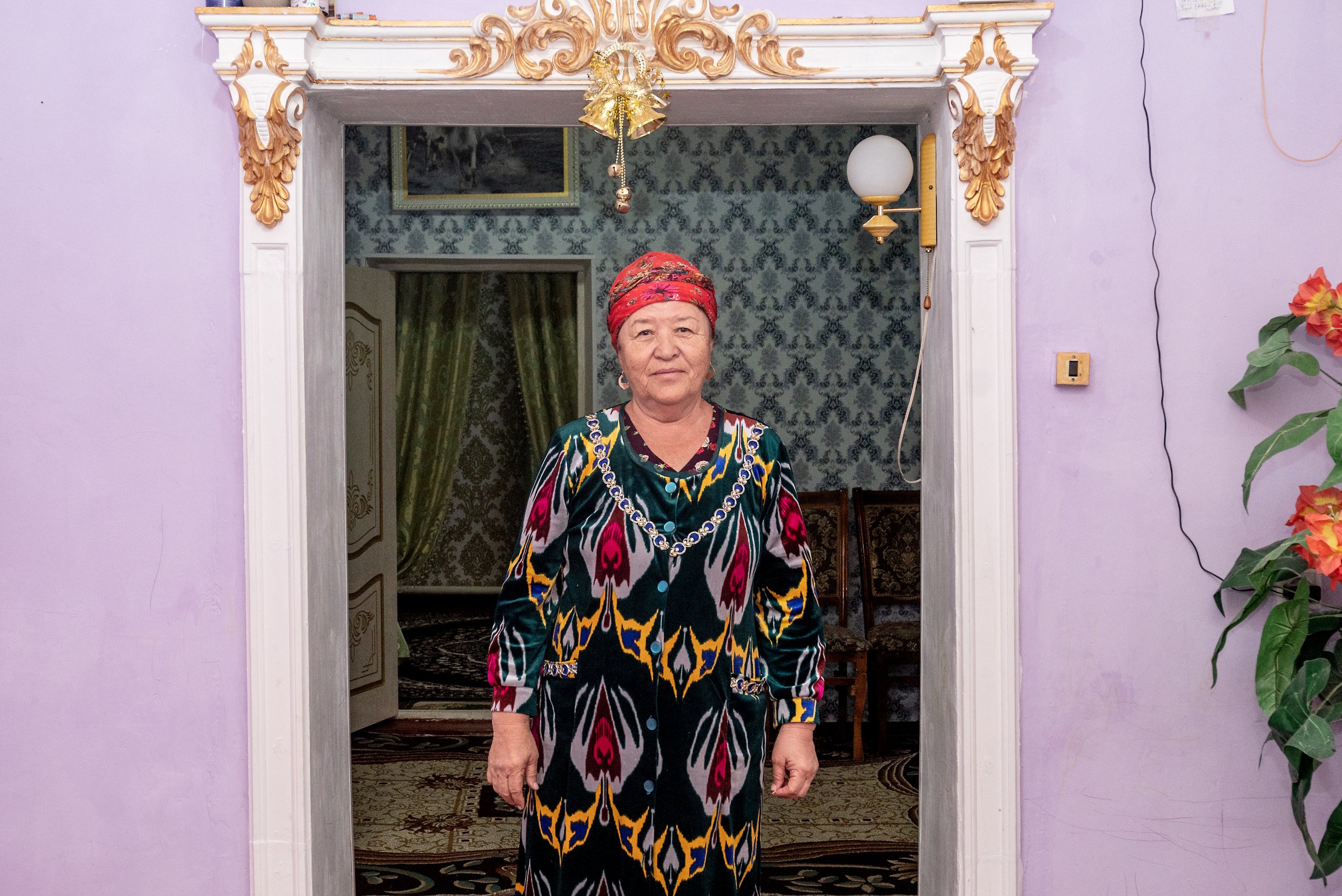
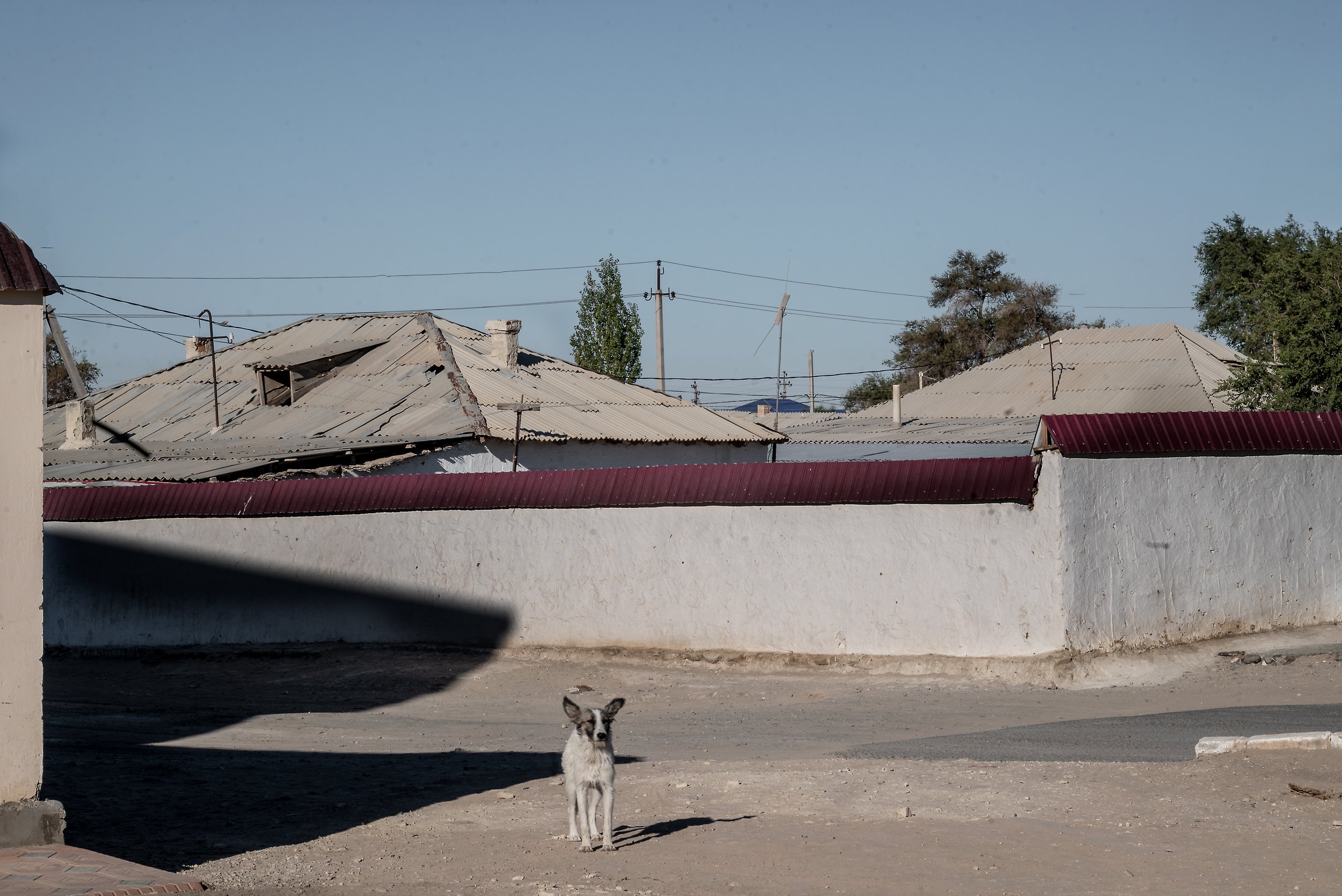
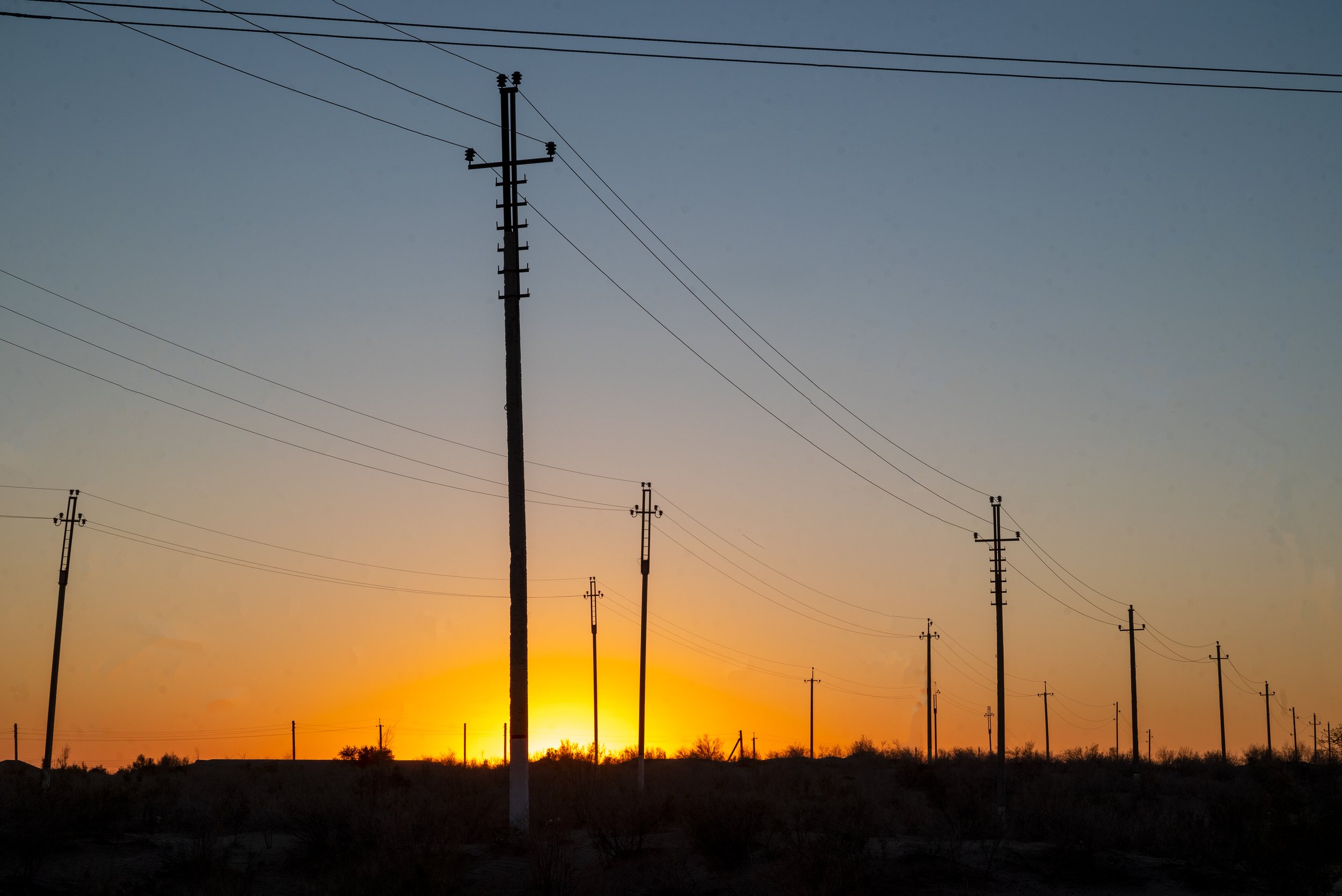
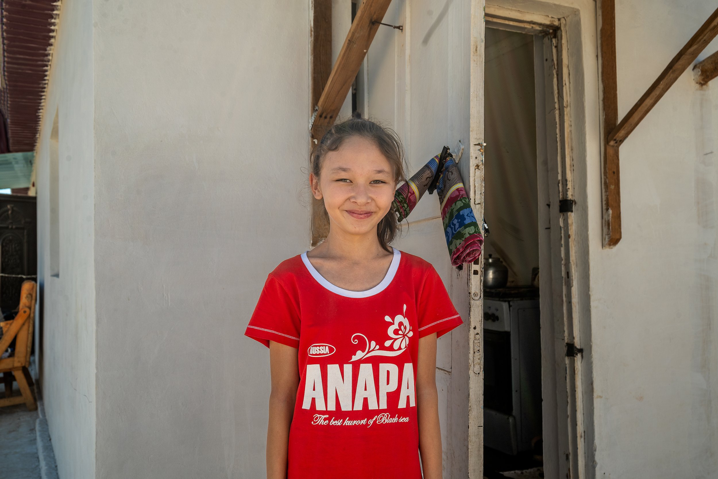
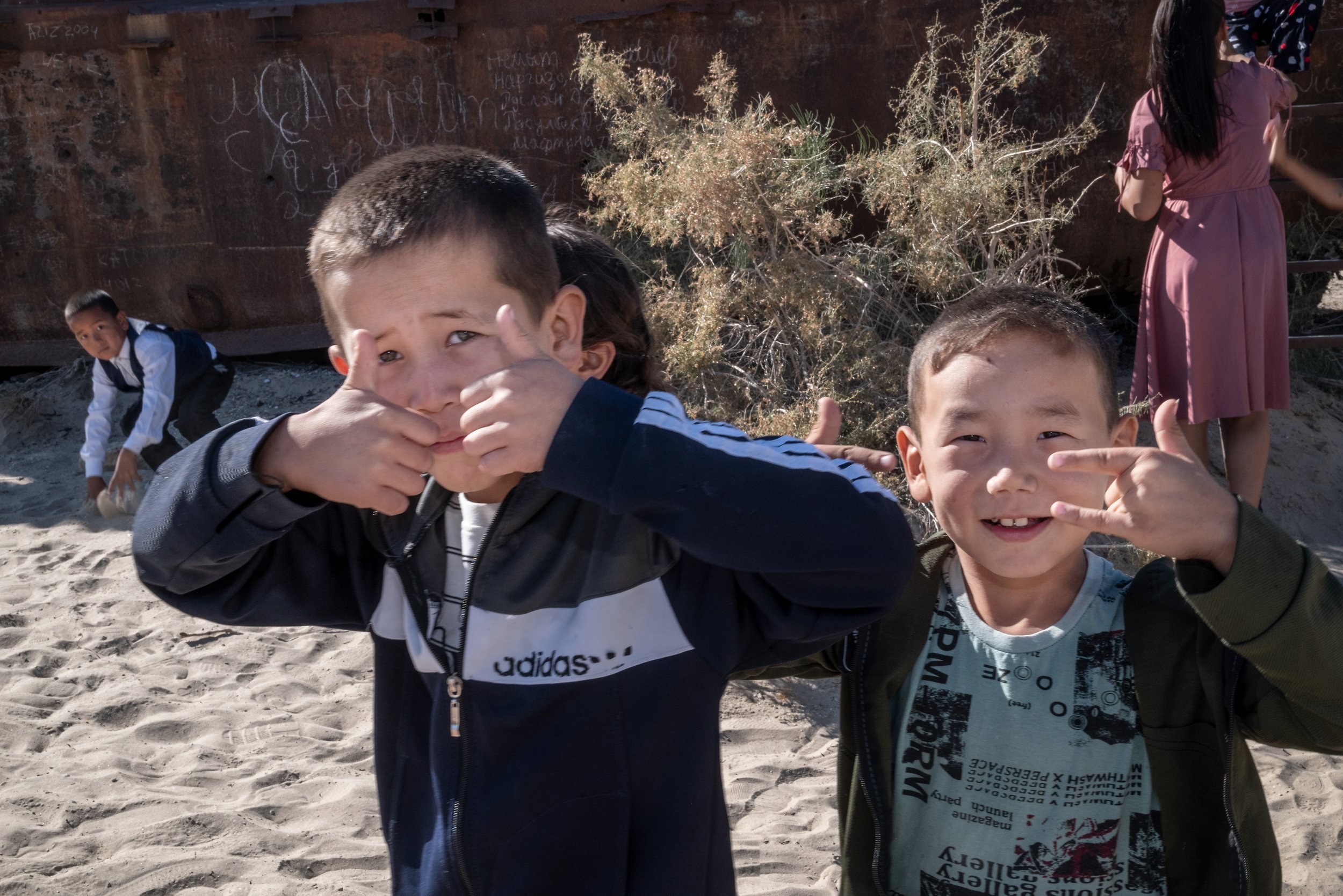
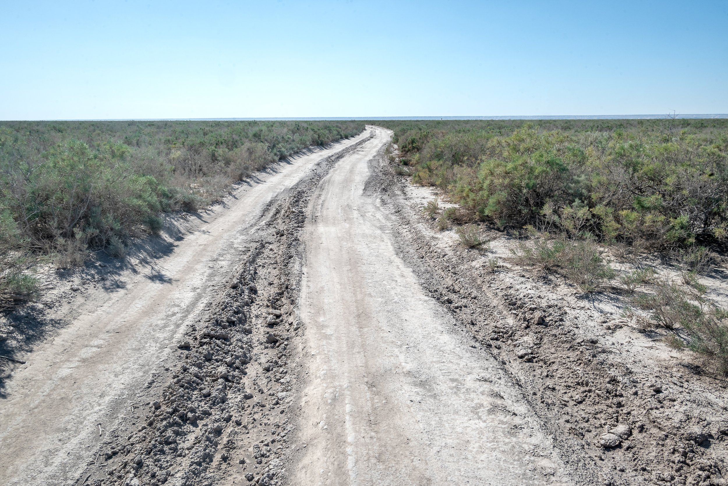
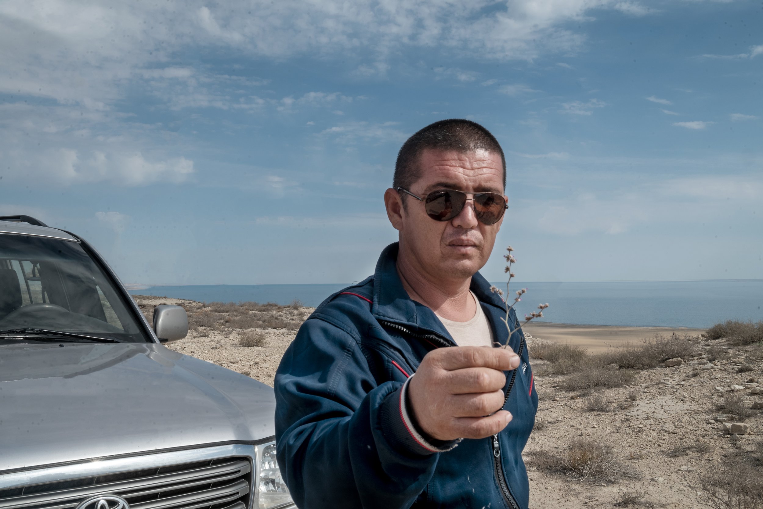
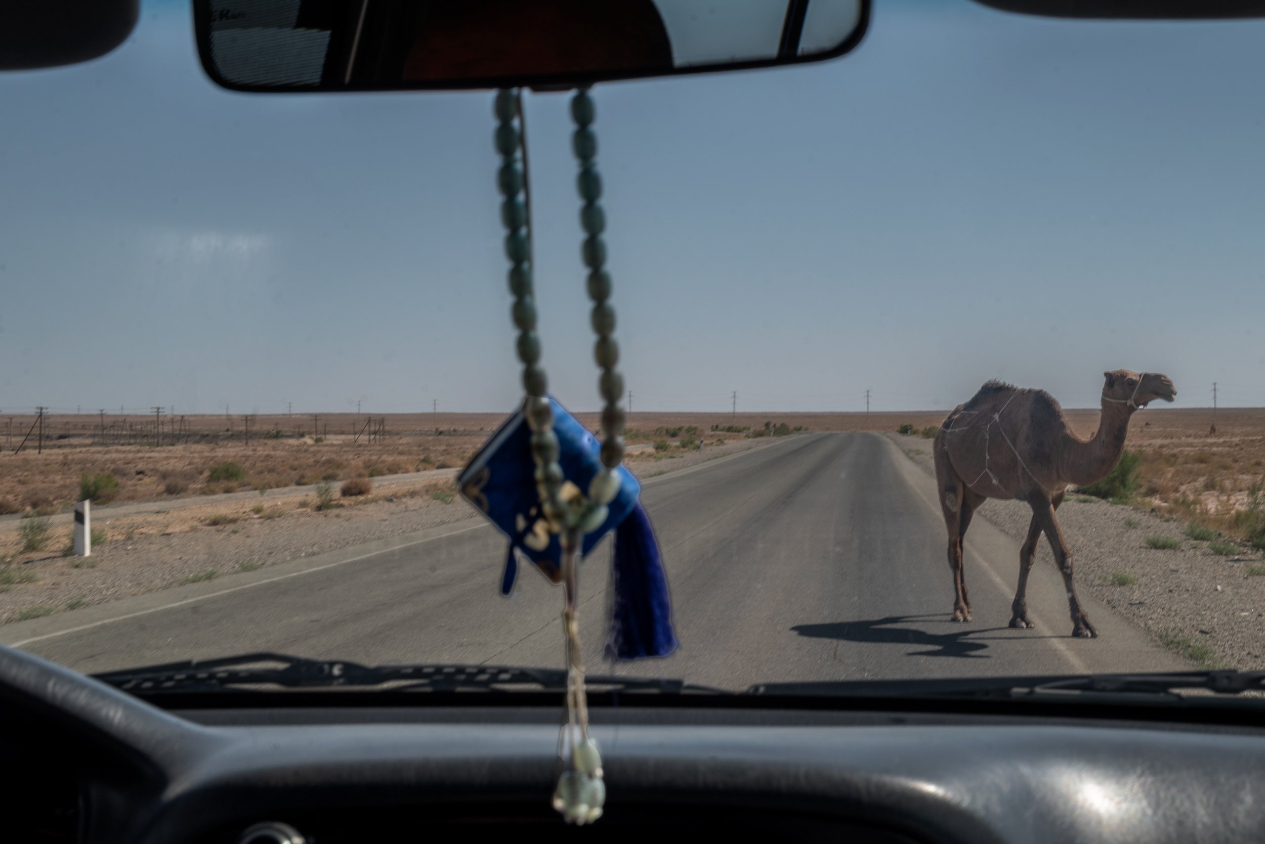
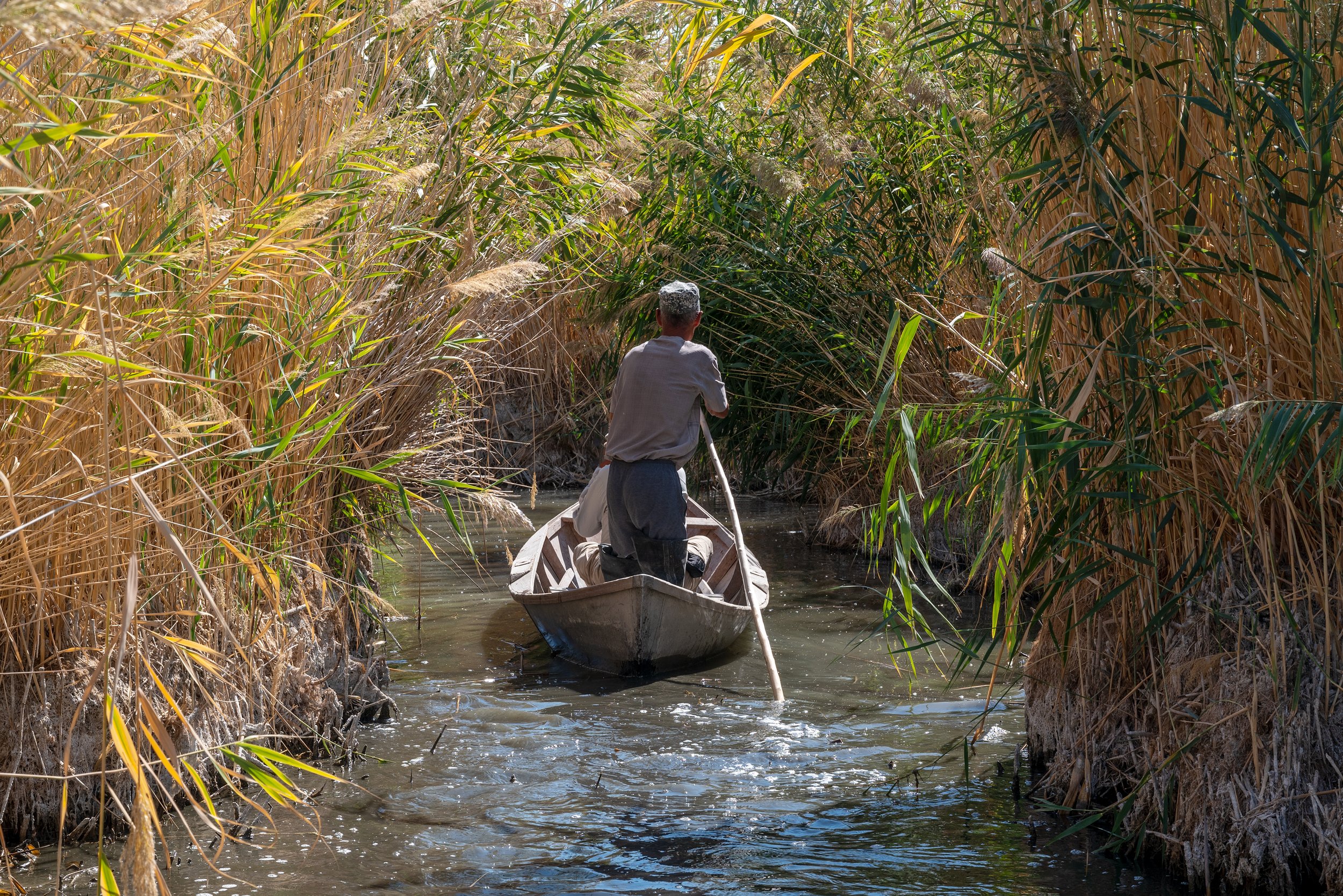
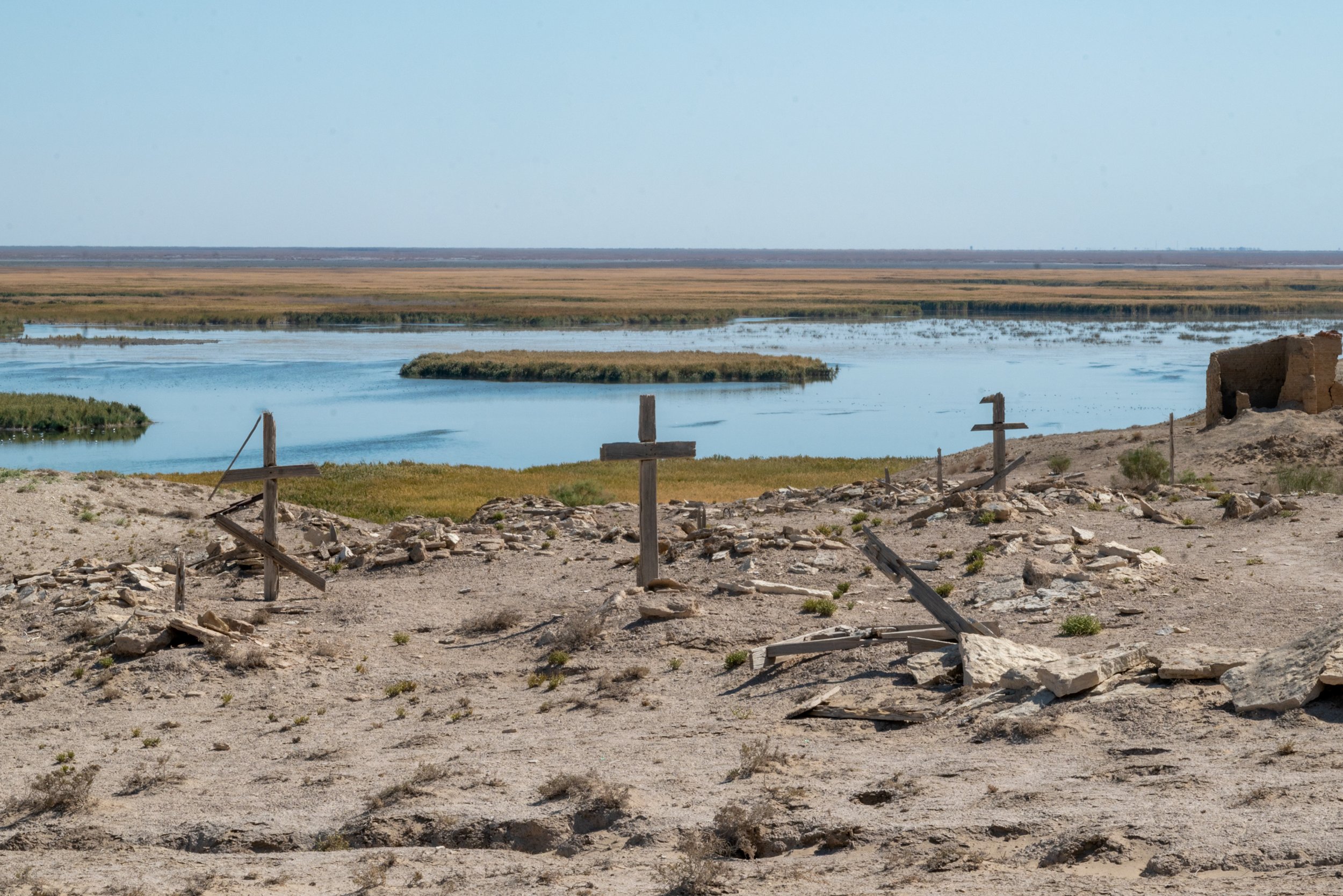
This photographic series follows that territory and its scars, attending both to the skin of the landscape and the gestures of everyday life among those who remain. It does not aim to denounce or to shout. It proposes instead to look again — to allow photography to become a space for time, reflection, and an encounter with the fragility of the land.“Whatever it is, the way you tell your story online can make all the difference.”
Uzbekistan, September 2021